Felt
Felt is an interactive and collaborative map making platform. Teams use it to quickly create stunning map visualizations - without needing to move data or install software. Sign up for a free account here.
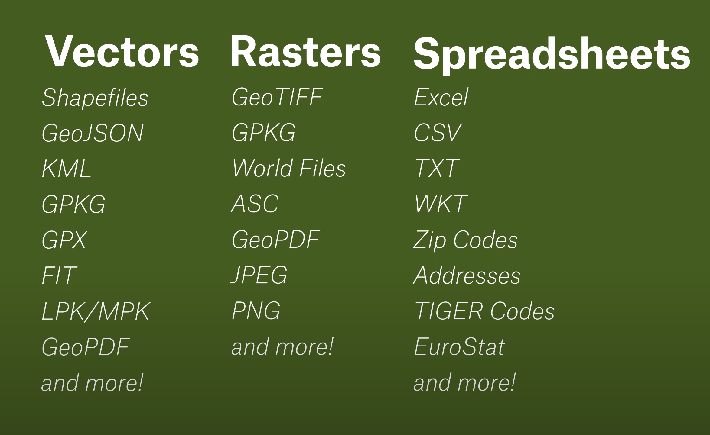
Felt supports several file formats, some of which can originate from hosted URLs. Fused UDFs can be configured to return data in some of those formats - all it takes is a simple URL call.
1. Generate a signed URL for a UDF
First, create a UDF and generate an HTTP endpoint.
2. Load data into Felt
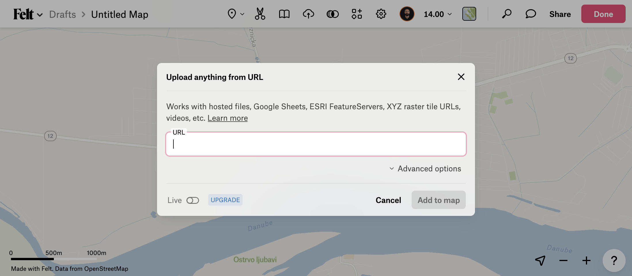
There are 2 ways to load data from Fused into Felt, depending on whether the UDF returns a raster or vector data type. Both are passed through the "Upload from URL" modal, but require particular URL structures. Read the Felt docs for a deeper dive into this feature.
Raster Tiles
Dynamically render XYZ raster tiles on the Felt map.
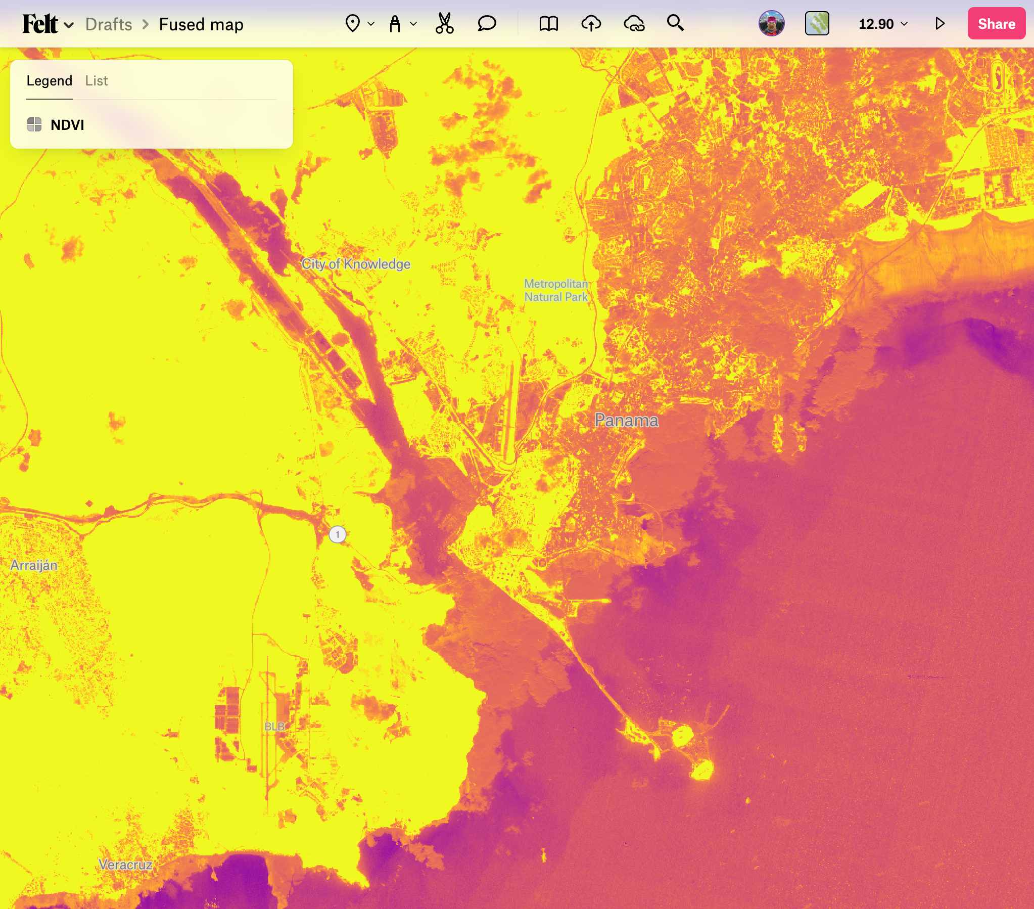
As an example, the "Sentinel Tile Example" public UDF returns an XYZ tile URL of NDVI from the Sentinel dataset. Create a new instance of it on your workbench and ensure it successfully renders data under Tile mode. Next, generate a shared URL and modify it as such:
- Set
dtype_out_rastertopng. - Set replace the values after
/run/tileswith the/{z}/{x}/{y}template. - Set UDF parameters as needed.
For example:
https://www.fused.io/server/v1/realtime-shared/da71c7bf79376f2e88b37be9ecd2679f2e40a5b79f9b0f2c75e7ea9a3f0c5171/run/tiles/{z}/{x}/{y}?dtype_out_raster=png
This should render the raster output tiles on the map. This example shows NDVI on the area surrounding the Panama Canal.
Vector
Load vector data in a one-off manner onto the Felt map.
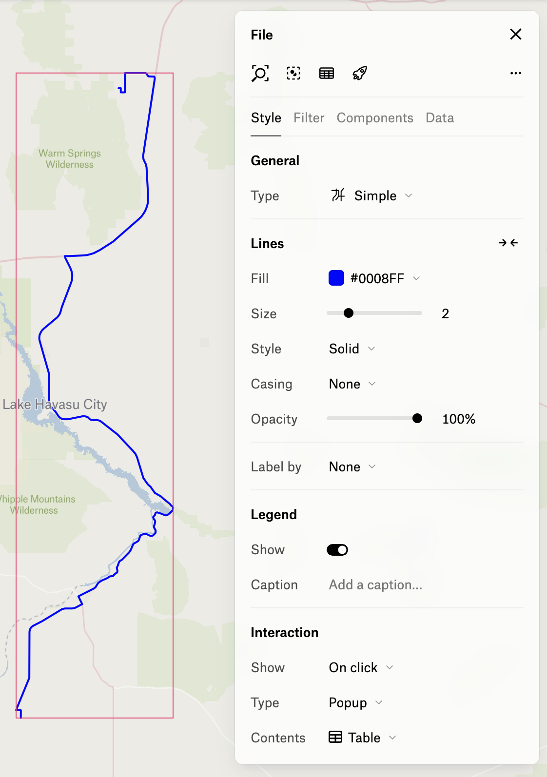
As an example, the "Single Route" public UDF returns a composite vector line of driving directions between an origin and destination locations. Create a new instance of it on your workbench and ensure it successfully renders data under File mode. Next, generate a shared URL and modify it as such:
- Set
dtype_out_vectortocsvorparquet. - Set UDF parameters as needed.
For example:
https://www.fused.io/server/v1/realtime-shared/4f8fe6b81811ce011d7045b9fffbcfb43663637a4c626955821566fe62e6fb57/run/file?dtype_out_vector=csv&lat_start=35.0154145&lng_start=-114.2253804&lat_end=33.9422&lng_end=-114.4036
Click "Upload from URL", paste the URL, and click "Add to map".
This should load the data and render it on the map.
Note that once the data is loaded, it's cached in the Felt platform so it won't be affected by modifications to the UDF.