H3 Hexagons Deep Dive
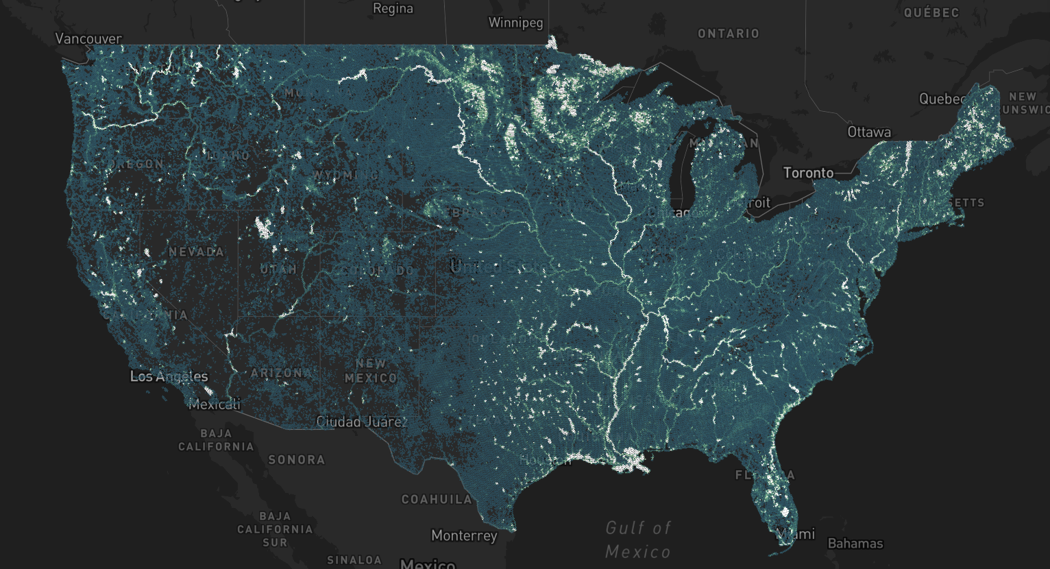
We'll show you how to manipulate huge datasets with H3 & Fused like this example: Crop Data Layer filtered to only show open waters in the US
What you'll learn
Hexagons are the bestagons, especially for analysing large datasets. We think so, and we'll show you:
- When to use H3 Hexagons to simplify & speed up your analysis
- How to do simple aggregations & spatial joins of H3 data to answer questions
- Using DuckDB with Fused for fast queries
- Ways to display your results
- Use advanced Fused concepts like caching, parallel computing with
fused.submit()
Prerequisites
Knowledge
It will be helpful if you have some familiarity with:
- Fused, Python
- Some geospatial concepts like spatial joins & aggregation.
We'll do our best to explain all the Fused concepts and any operations we do. If you ever have questions, reach out to us on Discord or send an email to info@fused.io if you get stuck!
Access
Different Fused accounts will allow you to:
| Feature | Guest (Free) | Personal (Free) | Team (and above) |
|---|---|---|---|
| Access data | ✅ | ✅ | ✅ |
| Run public UDF code | ✅ | ✅ | ✅ |
| Edit & replicate code | ❌ | ❌ | ✅ |
Table of Contents
- Why using Hexagons to begin with
- Ingesting Datasets into H3
- Aggregating Data
- Joining Multiple Datasets Together
- Visualizing H3 Hexagons
- Leveraging MCP & LLMs to ask questions to your data
Each section provides detailed information and practical examples to help you master working with H3 hexagons in your projects.