7 posts tagged with "overture"

View All Tags

Enhance your data with GERS IDs

Β· 3 min read
Jennings Anderson
Software Engineer @ Meta
Plinio Guzman
Founding Engineer @ Fused

TL;DR Enriching your spatial data with GERS IDs can make it interoperable across the data ecosystem. You can use Fused UDFs to create custom HTTP endpoints to enrich your data with GERS.

The Global Entity Reference System (GERS) is a framework that structures, encodes, and matches map data to a shared universal reference within Overture. GERS helps organizations identify and reference their own datasets with standard identifiers to Overture data to help unify datasets.


In this blog post we show how to create simple endpoints with Fused UDFs to enrich a dataset with GERS IDs. We'll use the Overture Building footprints to first enrich a polygon with GERS IDs then another one to look-up metadata for a specified GERS ID.

We're partnering with Overture to make their Data easily accessible with Fused

Β· 5 min read
Jennings Anderson
Software Engineer @ Meta
Plinio Guzman
Founding Engineer @ Fused

TL;DR: We've made it easier to work with Overture data by leveraging Fused.

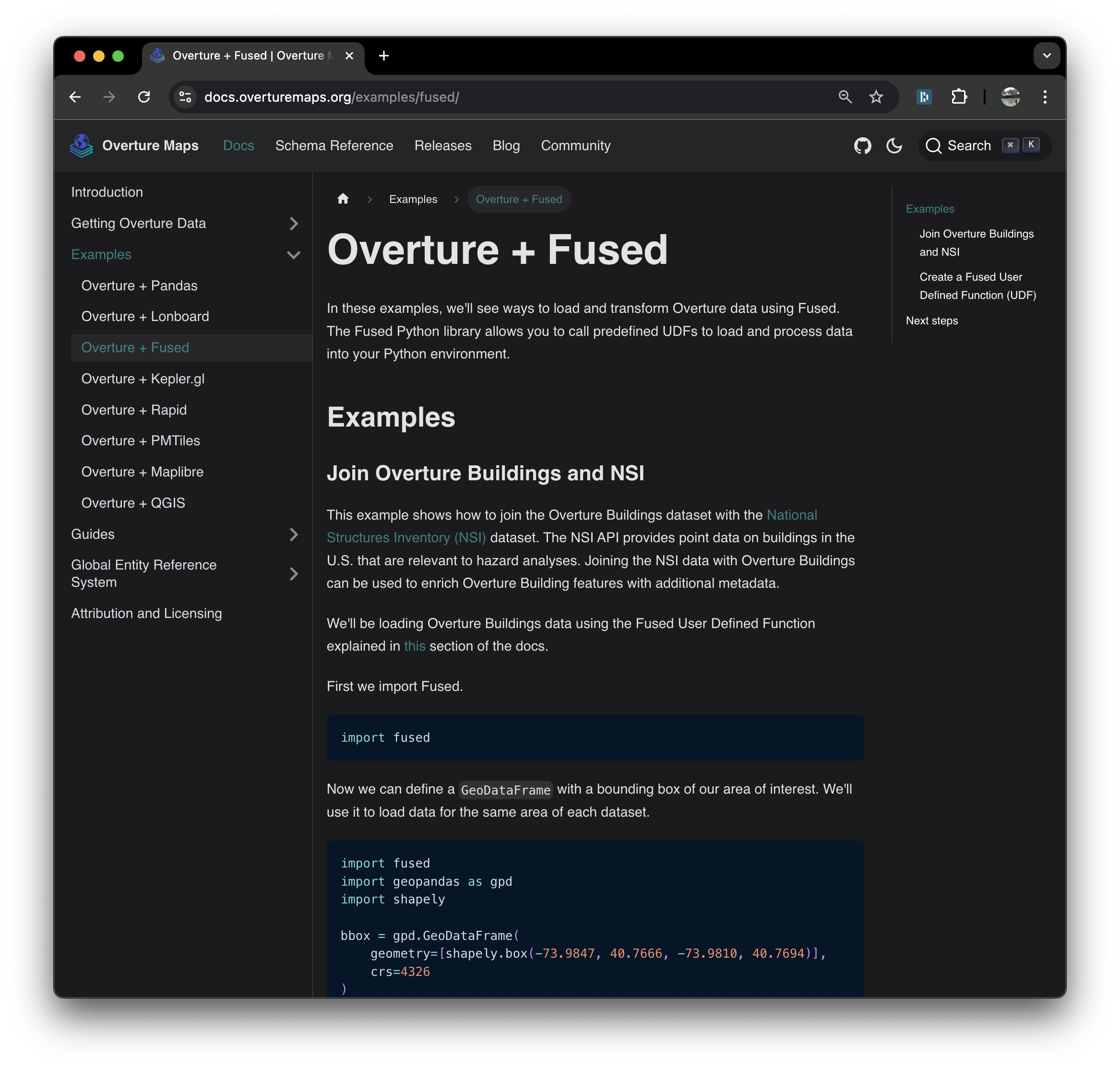
Fused has been working with the team at The Overture Maps Foundation to enable direct access to their data through Fused UDFs. We are excited to share that the Overture docs now show examples on how to see how to integrate any Overture data into your workflows using Fused.

Alt

Overture Maps aims to provide foundational building blocks of data across various themes designed to be broadly applicable across industries. Our goal at Fused is to make it easy to work with Overture data and adopt standards (such as GERS). To this end, we are creating easy abstractions to access data, tools to perform foundational operations such as conflation and enrichment, and example workflows to inspire and help you understand how to leverage this data.

One of the key usecases for Overture + Fused is enriching datasets with Overture Maps data. This tutorial showcases 2 simple Python workflows that do this by performing a spatial join with Overture Buildings. This example of a simple enrichment operation will help you understand how to work with Overture data in your own workflows.

How Fused Powers BlackPrint’s Acquisition Intelligence Platform

Β· 3 min read
Gilberto S. Perezalonso
Founder @ Blackprint

TL;DR BlackPrint streamlines and transforms fragmented real estate data into actionable insights across Latin America.


BlackPrint Technologies began its journey as a satellite mapping service designed to help municipalities modernize their property registries. Recognizing a greater opportunity, we transitioned into the private sector to address a significant gap in the commercial real estate market: the need for accessible, actionable data. Today, our platform empowers professionals with precise acquisition intelligence, transforming how decisions are made across Mexico and, soon, all of Latin America.

In this blog post, we will explore how BlackPrint built the backend of its intelligence platform with Fused to provide a comprehensive view of the commercial real estate market in Mexico.

Hot-spot analysis for invasive species using Overture Maps

Β· 4 min read
Elizabeth Rosenbloom
Founder @ Rosen Co.

TL;DR Elizabeth Rosenbloom creates hotspot maps to identify key areas where Arundo donax is likely to spread, streamlining analysis to improve invasive species mitigation.


In 2020 while working in Silicon Valley for the county of Santa Clara Valley, I became obsessed with improving monitoring and prevention efforts surrounding Arundo donax. The search and mitigation process this invasive plant species, Arundo donax, was a Sisophisian struggle that had been subject to the same procedures year in and year out, with no progress on beating the spread. To improve the efficacy and efficiency in battling against this notorious weed, I decided to build a tool that would identify the key areas for mitigation - both for the frequency of propagation (occurrence) and for spread potential.

In this blog post I show how I used Fused to create a map of key hotspots where Arundo donax is likely to spread based on built-environment factors derived from Overture Maps data.

Characterize cities with embeddings of Overture Place categories

Β· 3 min read
Maribel Hernandez
Computational Genomics Researcher @ CINVESTAV

TL;DR Maribel Hernandez shows how to create clusters of business categories using Overture Places data.


Maribel Hernandez is a computer scientist and researcher at CINVESTAV, a multidisciplinary academic institution in Mexico. She specializes in graph theory in the field of computational genomics and complex networks. In this blog post, Maribel shows how she characterizes cities based on the distribution of businesses by rolling-up business categories by H3.

As someone who works with urban networks, Maribel's focus is on exploring how cities function and how their design impacts inclusivity. The core question driving this analysis is: Does the city have an even distribution of business services? Or are there shortages such as food deserts or unequal access to health facilities?

Map Overture Buildings and Foursquare Places with Leafmap

Β· 2 min read
Qiusheng Wu
Associate Professor @ University of Tennessee
Plinio Guzman
Founding Engineer @ Fused

TL;DR Dr. Qiusheng walks through how you can call Fused UDFs to load data into leafmap maps using Jupyter Notebooks.


Dr. Qiusheng Wu is an Associate Professor of Geography and Sustainability at the University of Tennessee and a Founding Editorial Board Member at the Cloud-Native Geospatial Forum (CNG). As part of his commitment to making open-source geospatial analysis and visualization more accessible, he has developed several widely used open-source packages, including geemap, leafmap, and segment-geospatial.

In this Notebook Qiusheng shows a few examples of how Cloud Native Geospatial datasets help you easily load data into a Jupyter Notebook environment using leafmap. His practical examples showcase how you can call the Overture Maps UDF and Foursquare Places UDF to load data into a custom area of interest and render it in a leaflet map.


Enrich your dataset with GERS and create a Tile server

Β· 3 min read
Jennings Anderson
Software Engineer @ Meta
Plinio Guzman
Founding Engineer @ Fused

TL;DR Fused enables on-the-fly enrichment of Overture datasets using simple spatial joins.


Overture is an open data project that publishes interoperable map datasets. It aims to foster an ecosystem of developers creating downstream map services around its data products. Fused emerged as a solution to enrich Overture datasets on the fly and serve them with XYZ Tile endpoints.